Showing posts with label Earthworks. Show all posts

Saturday, 12 October 2013

Not your Average Volume Calcs.

In some customised training recently I had a question on calculating the volume of material that was dumped on the side of an existing road. It turned out to be less straight forward than initially expected. The existing road is higher than the ground around it and original had a 2:1 embankment - that is all the information provided on the original condition. The fill material was dumped on top of this embankment. No survey existed for the original embankment so we had to somehow recreate the original ground level before we could calculate the volume of dumped material.

Belo is a screen shot of the current situation with a section through the fill to be quantified:
Manually drawn on one section below is the volume we need to calculate:
What we need to do is recreate the original field levels and road embankment at 1:1 to do our volume calculations - for simplicity we are going to assume the slope of the field continues in at the same grade towards the road:
 
In plan below you can see the toe of current embankment - blue line. Red line is the road edge. 
To recreate the original field slope where the material was dumped we are going to use the overlaywidenmatchslope subassembly to build a corridor and get it to look at the existing field slope and continue this back in towards the road. Insertion point is toe of current slope and setting a target (green line) further out in the field will enable the assembly to calculate the slope of the field. 
The resulting corridor surface is shown below in purple. (actual slope may have been different but it is a good estimate). 
Next build another corridor with a linkslopetosurface subassembly. Alignment is existing road edge and existing profile. We will target the surface from the first corridor. 
The resulting corridor surface is shown below. We now have a good estimate of what the original ground levels were like before the material was dumped. 
Next to calculate the volumes we can define a material bounded by the three surfaces. 
 Volumes report below. 


Wednesday, 5 September 2012

Volume Calcs. from Sections

I was creating an as built Civil 3D model of a windfarm job and was asked to calculate a number of quantities. One was the volume of rock fill. This seemed straight forward - compare finished road surface against top of rock and you have your answer. The problem was that my finished road surface slopes down from road edge to top of rock and then batters back from there to meet existing ground. A straight comparison between the two would give incorrect volume, see below:
2012-09-05_0942
This includes the portion on the outermost batter. The volume we actually require is this:
2012-09-05_0943
To get this we need to create a new surface comprising the road edge featurelines and the featureline where the initial embankment intersects the top of rock. First lets look at my assembly… I am using a combination of generic subassembly (linkwidthandslope) and a conditional subassembly to model different conditions in cut/fill.
2012-09-05_1031_001
If you look at creating a surface from the featurelines generated by the corridor you see that all the individual linkwidthandslope subassemblies have a point code P2 and thus only one featureline I can choose (this would effectively give me the same result as choosing top links to create my surface).

You need to create unique point codes for each subassembly and thus unique featurelines to choose from for corridor surface.
Select the subassembly and change the Point Code  in Properties. Road edge here:
2012-09-04_1712
Then slope to rock:
2012-09-04_1716
Rebuild the corridor and in now corridor surfaces you should see some extra featurelines:
2012-09-04_1719_001
Now on cross sections you should be able to calculate the correct volume for rock fill by comparing this new surface with top of rock:
2012-09-05_0943

Wednesday, 18 July 2012

Grading Between Corridors

In the same project described in my last post there were two access roads that were close to each other but at very different levels. The embankments between the roads will grade from the back of the verge of one to the back of the verge of the other and vary in slope. See below:
This project is in its early stages and the design is bound to change. We need to 'tie' the two corridors together dynamically so that a change to either road will be reflected in the grading between them without having to manually make these changes each time.


The first step is to create the corridors for both roads. Then extract a dynamic featureline from one of the corridors for the relevant tie in point. In my case I am extracting the back of the verge for the higher road. See below:
Make sure to tick the 'Create Dynamic Link to the Corridor' box and then select the featureline you want from the corridor. This creates a featureline representing the back of the verge which we can now use as a target for our lower corridor earthworks.


Modify the lower corridor assembly to include a LinkwidthandSlope subassembly (find it on the generic tab of the toolpalettes - CTRL+3).
No in our lower corridor we can use this subassembly to target the extracted featureline from the higher corridor.
This creates dynamic grading between the two corridors.
If the design changes for either access road the grading between the two will update automatically.

Wednesday, 30 May 2012

Wind Farm Design - Creating Geological Surfaces from Probed Depth Values

This post forms part of an article written for this month's edition of AUGI World magazine on how to use Civil 3D for designing wind farm infrastructure, pg 54.


Creating Geological Surfaces from Probed Depth Values:
Probed depths or borehole logs provide us with information on the subsurface geological layers for the site. When importing and using this data in Civil 3D there are a couple of issues that need to be looked at.

Issue 1: The surfaces created from the depth values in Civil 3D are of limited use. What we really need are the elevation values at each of the probe locations.  We need to convert the depth values into elevations.

Issue 2: Due to differing surface data resolutions (typically more points in the existing ground surface) the bottom of peat surface may not appear to accurately represent the geological layer – it may not ‘follow’ the lie of the land. See screen grab below. (You could in some cases see your subsurface extend above the existing ground in section). We need to create a surface that uses the probed depths and also ‘follows’ the existing ground in the areas in between where we do not have any probes.
There is workaround that has previously been posted on a number of blogs and forums that solves both of these issues. Here it is described as applied to a windfarm project - with a little bit of explanation of what is going on in the background from a Civil 3D point of view.

Solution:
  1. Create a TIN surface from your probed peat depths – call it Probed Peat Depth.
  2. Create a volume surface using the Existing Ground surface and the Probed Peat Depth surface – call it Peat Volume. The order in which you add the surfaces is important (base – Probed Peat Depths, Comparison – Existing Ground). You now have a volume surface that has depth values that are equal to the elevation for the bottom of peat.
  3. Create a new TIN surface and call it Surface from Peat Volume. Paste in the Peat Volume surface. Pasting a volume surface into a TIN surface creates a surface with elevations equal to the depth values of the volume surface– we now have a TIN surface representing the bottom of peat.
The surface created in step 3 uses the probed peat depth values and follows the existing ground in between probes.  Note – this is not a true representation of the sub-surface geology but it is a good base to start with.

Monday, 30 April 2012

Maximising Geotechnical Data in AutoCAD Civil 3D

Last Friday we held a webinar with Keynetix, Autodesk’s AEC Industry Partner for Geotechnical software, showing how to produce geotechnical and geo-environmental drawings, models and cross-sections quickly and accurately in AutoCAD Civil 3D by using KeyHOLE. Here is a link to the webinar (the first few minutes are missing..). The Civil 3D content starts at 36min... enjoy...


http://www.screencast.com/t/WpVljO7y8

Tuesday, 24 April 2012

Windfarm Access Roads - Volumes Calculations


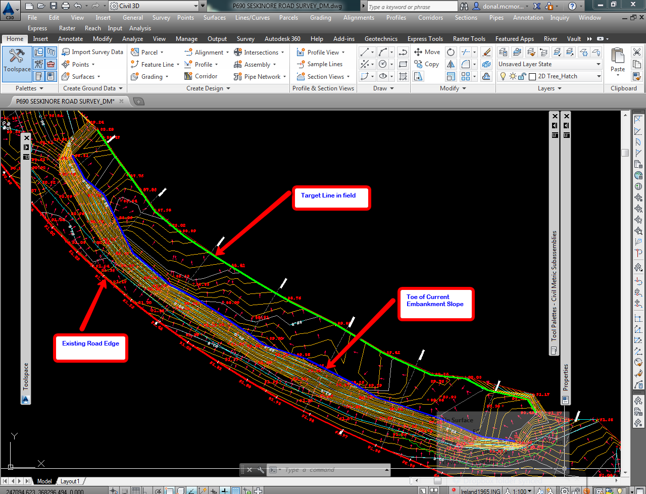
When calculating the earthworks volumes for the site there will usually be a number of subsurface layers that we will need to take into account. For example a typical site might consist of 3 layers; a peat layer overlying an intermediate layer of reusable material under which there is a rock layer. All of these will probably be intersected by your proposed access road surface at some point and volumes calculations will involve comparisons between two or more of these surfaces.
In calculating the volumes we will look at two methods; Volume Surfaces and Materials from Cross Sections. While using volume surfaces is a great method for calculating volumes I have found that using materials is more flexible. You define a material as the volume you wish to calculate. For example I might create a material called Volume of Rock Cut and define it using the access road proposed surface and the top of rock surface. Materials are particularly useful where you have more than two surfaces bounding your desired volume. It also allows you to generate a cumulative volumes report for each material on a per cross section basis.


Volumes to be Calculated:

1.   Volume of Peat to be Stripped from Site
This is straight forward. Create a volume surface using the existing ground surface as the base and bottom of peat surface as the comparison. Extract the border from your final corridor top surface to give you a polyline representing the extents of the works. Add this polyline to the volume surface as a boundary (This can be added from the Toolspace).

2.   Volume Of Rock Cut
This is the volume bounded by the top of rock and the access road proposed surfaces. Create a material (Sections menu<Compute Materials) using these two surfaces. Set the Quantity Type and the Conditions as below:
The conditions in this case are telling Civil 3D that we want everything above the formation surface and below the rock surface.

3.   Volume of Rock Fill
This is the volume bounded by the bottom of peat and access road proposed surfaces. Create a material using these materials. Conditions are everything Below the proposed surface and Above the peat surface. Quantity Type is Fill. See completed material below.
Volume Cut/Fill Rock Materials on Cross Sections:


4.   Volume Reusable Material Cut
Between the bottom of peat and top of rock layers on this project there was a layer of material that was deemed competent enough to be reused as fill elsewhere. The volume required in this case is bounded by three surfaces; Proposed surface, top of rock and bottom of peat.

Create another material as before adding in the three surfaces. The Conditions are everything below bottom of peat and above the other two surfaces, Quantity Type is Cut. See below:
Volume Reusable Material on Cross Sections:
Once you have your materials calculated you can generate a volume report – Sections menu<Generate Volume Report and select the report template you wish to use. This provides an easy to read cumulative volume report for each of the cross sections.


Friday, 23 March 2012

Windfarm Access Roads - Earthworks

I have been working on a windfarm job recently where the earthworks for the access roads varied depending on whether the design was in cut or fill at a particular location.

In cut the earthworks needs to slope up to meet the existing ground at a 1:1 slope. In fill we needed to slope down to meet the underlying rock layer at a 1:1 slope first and then back up to existing ground at 1:1.

Typically the access road in cross section will slope towards the uphill side of the road and a ditch is placed on this side. See a previous post on a quick method for identifying the uphill side.

Typical road assembly minus earthworks might appear as follows:
For the drainage ditch I am using the Ditch subassembly.


The ConditionalCutFill subassembly will be used to control how the earthworks is applied depending on whether we are in cut or fill. This is located on the Conditional tab of your Tool Palettes.

Looking at the cut situation first we will begin by applying a conditional cut subassembly to the back of the ditch:


The Layout Width and Layout Grade do not have any effect over the behaviour of the subassembly - they just control how the subassembly appears. I set my Type parameter in this case to Cut and leave the min and max values as they are. Attach this to the back of the ditch as shown above. In the cut situation I want to slope back up to the existing ground at 1:1. Use the LinkSlopeToSurface subassembly (Generic tab of Tool Palettes) and set the Add Link In parameter to Cut Only. Attach this to the end of the conditional cut subassembly as shown below:
Next apply another conditional subassembly to the back of the ditch - this time setting the Type parameter to Fill.

In the Fill situation we want to slope down to rock first at 1:1 - use the LinkSlopeToSurface subassembly again. Set the Add Link In parameter to Fill Only. Attach this to the end of the conditional fill subassembly.
From the rock layer we want to slope back up to existing ground at 1:1. Use LinkSlopeToSurface once more and set the Add Link In parameter to Cut only. Attach this to the end of the link to rock subasembly.

You can mirror all of the earthworks subassemblies to the other side of the assembly to speed things up. Just select the subassemblies you want to mirror and choose Mirror Subassemblies from the ribbon.

The complete assembly will look something like this:


When you are setting targets later in the corridor it is important that you have named each subassembly so that the name identifies what surface you will be targetting. e.g. Cut to Rock Left 1:1.


Create your corridor and set the targets in the corridor properties as required - see screen grab below for an example of how they might look.
Now we have our various earthworks conditions being controlled automatically by one assembly. Should changes be made to the vertical design of the roads later, the cut/fill conditions on the conditional subassemblies will look after any changes to the earthworks for us. See sample of what the resulting sections look like below: (existing ground - green; top of rock - magenta; road surface - red)

Cut Situation:

 Fill Situation (on right hand side):

If you are looking to explore the conditional cut and fill subassemblies a bit further I would recommend working through the example at the following link: